Co. Tipperary, Ireland
Services
Our Services
What we provide
At Erkina Geospatial Surveys, we offer a comprehensive range of cutting-edge surveying services tailored to meet the diverse needs of our clients
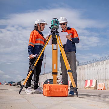
Laser Scanning
Utilizing advanced laser scanning technology, we provide detailed and accurate 3D representations of your site, enabling precise measurements and analysis.

Boundary Surveys
Our expert surveyors employ state-of-the-art techniques to establish precise property boundaries, ensuring clarity and compliance with legal requirements.

Legal Mapping
We specialize in creating accurate legal maps that meet regulatory standards, facilitating property transactions and development projects.
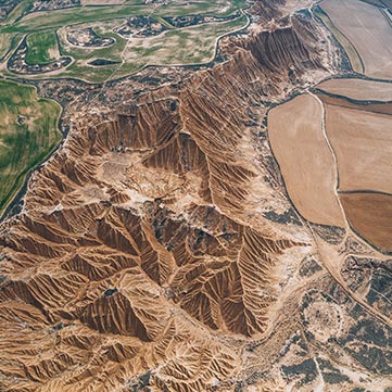
Topographic Surveys
With our topographic surveys, we capture detailed elevation data and surface features to support informed decision-making for construction, engineering, and land development projects.

Drone Surveys
Harnessing the power of drones, we conduct efficient aerial surveys to capture high-resolution imagery and data for mapping, monitoring, and inspection purposes.
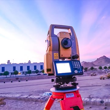
Total Station Surveys
Our total station surveys deliver precise measurements and geospatial data for construction layout, infrastructure design, and land management applications.

GPS Surveys
Using cutting-edge GPS technology, we perform accurate positioning and mapping services to support a wide range of projects, from utility mapping to environmental monitoring.
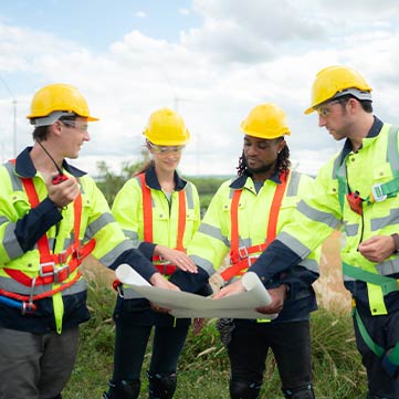
Chartered Surveyors
Our team of chartered surveyors brings extensive expertise and professionalism to every project, ensuring quality, integrity, and compliance with industry standards.
faq
Frequently Asked Questions
We understand that you may have questions about our services and how we can assist with your projects. We’ve compiled a list of frequently asked questions to provide you with quick and helpful answers. If you need further information or have specific queries, please don’t hesitate to contact us. Our team is here to support you with expert advice and exceptional service.
1. What types of surveys do you offer?
At Erkin Geospatial Surveys, we offer a wide range of surveying services, including laser scanning, boundary surveys, legal mapping, topographic surveys, drone surveys, total station surveys, and GPS surveys. Our services are designed to meet the diverse needs of various industries.
2. How accurate are your survey results?
Our surveys are conducted using advanced technology and equipment, ensuring high levels of precision and accuracy. We adhere to industry standards and best practices to deliver reliable and accurate data for all types of projects.
3. How do I know which survey service I need for my project?
Our team of expert surveyors will work with you to understand your project requirements and objectives. We will recommend the most suitable survey service based on your specific needs, ensuring you get the best possible results.
4. What areas do you serve?
Erkin Geospatial Surveys provides services across a wide range of sectors, including real estate development, construction, engineering, architecture, utilities, environmental management, government and public sector, and agriculture. We cater to clients both locally and regionally, ensuring comprehensive coverage for all your surveying needs.
faq
General Question
Lorem ipsum dolor sit amet, consectetur adipiscing elit, sed do eiusmod tempor incididunt ut labore et dolore magna aliqua. Quis ipsum suspendisse ultrices gravida. Risus commodo viverra maecenas accumsan lacus vel facilisis.
Lorem ipsum dolor sit amet, consectetur adipiscing elit, sed do eiusmod tempor incididunt ut labore et dolore magna aliqua. Quis ipsum suspendisse ultrices gravida. Risus commodo viverra maecenas accumsan lacus vel facilisis.
