Geospatial solutions that measure up.
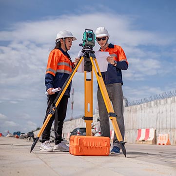
Welcome to Erkina Geospatial Surveys, where accuracy meets innovation. Transforming landscapes into precise data, we redefine the way you see your projects. Discover unparalleled precision, reliability, and expertise in every survey.
Cutting-Edge Technology
Harnessing advanced tools for precision results.
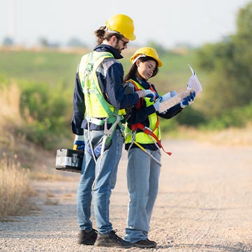
Expert Surveyors
Professionalism and expertise you can trust.
Expertise you can trust.
Customized approaches to meet your project's unique needs.
Our Services
What we provide
At Erkina Geospatial Surveys, we offer a comprehensive range of cutting-edge surveying services tailored to meet the diverse needs of our clients
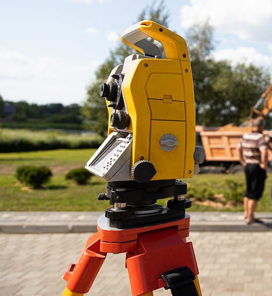
Laser Scanning
Utilizing advanced laser scanning technology, we provide detailed and accurate 3D representations of your site, enabling precise measurements and analysis.
Boundary Surveys
Our expert surveyors employ state-of-the-art techniques to establish precise property boundaries, ensuring clarity and compliance with legal requirements.
Legal Mapping
We specialize in creating accurate legal maps that meet regulatory standards, facilitating property transactions and development projects.
Topographic Surveys
With our topographic surveys, we capture detailed elevation data and surface features to support informed decision-making for construction, engineering, and land development projects.
About us
Empowering Progress Through Precision: Meet Erkina Geospatial Surveys
Erkina Geospatial Surveys is a leading land surveyor company dedicated to delivering high-quality geospatial solutions to clients across various industries. With a commitment to excellence and innovation, we leverage advanced technology and expert knowledge to meet the unique needs and challenges of each project.
Our team of skilled professionals combines years of experience with a passion for precision, accuracy, and customer satisfaction. Whether you require laser scanning, boundary surveys, legal mapping, or drone surveys, you can trust Erkina Geospatial Surveys to deliver reliable results on time and within budget.


SECTORS WE SERVE
Empowering Diverse Industries
Explore the sectors that benefit from Erkina Geospatial Surveys’ expertise and commitment to accuracy.
Real Estate Housing
Transforming visions into reality through precise land assessments and development strategies.
Construction
Building with confidence, leveraging accurate survey data for seamless project execution.
Engineering
Engineering excellence starts with precise measurements and reliable geospatial data.
Architecture
Architectural innovation meets precision surveying for timeless and functional designs.
Utilities
Powering progress with precise mapping and infrastructure solutions for utilities.
Environmental Management
Preserving natural ecosystems through detailed environmental assessments and monitoring.
Engineering
Engineering excellence starts with precise measurements and reliable geospatial data.
Government & Public Sector
Serving the public interest with reliable survey data for informed decision-making and infrastructure planning.
Precision with Erkina Geospatial Surveys
Erkina Geospatial Surveys offers comprehensive land surveying solutions
tailored to meet your project’s unique needs Experience precision like
never before with Erkina Geospatial Surveys.
- Accurate and Reliable Results
- Expertise You Can Trust
- Customized Solutions
- Ballyduff Road, Two Mile Borris, Thurles, Co. Tipperary, Ireland
- +353 87 261 7509
- info@erkinasurveys.ie