Empowering Progress Through Precision: Meet Erkina Geospatial Surveys
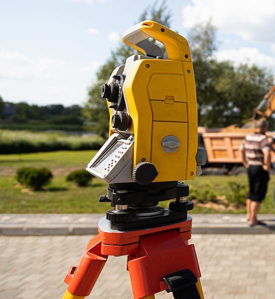
Erkina Geospatial Surveys is a leading land surveyor company dedicated to delivering high-quality geospatial solutions to clients across various industries. With a commitment to excellence and innovation, we leverage advanced technology and expert knowledge to meet the unique needs and challenges of each project.
Our team of skilled professionals combines years of experience with a passion for precision, accuracy, and customer satisfaction. Whether you require laser scanning, boundary surveys, legal mapping, or drone surveys, you can trust Erkina Geospatial Surveys to deliver reliable results on time and within budget.
Our Mission
We Provide Best Land Survey & Digital Mapping Services
Our mission extends beyond delivering exceptional geospatial solutions; we strive to be innovators in our field. By fostering a culture of continuous improvement and embracing the latest advancements in surveying technology, we ensure our clients receive the most accurate and efficient services available.
Our dedication to integrity, reliability, and professionalism sets us apart, making us the trusted partner for projects of any scale. From small land developments to large infrastructure projects, we are committed to exceeding expectations and contributing to the success of our clients’ ventures. At Erkina Geospatial Surveys, precision is not just a goal—it’s our standard.
Ready to elevate your surveying experience?
Contact us today to discuss your project needs and schedule a consultation with our expert team.